Electronic Charts
The advent of Electronic Charts in the 1990's provided both Commercial and Leisure Marine vessels with additional chart data, including real time information which could be displayed on Professional Electronic Chart Display and Information Systems (ECDIS) as well as lesser regulated Commercial and Leisure Chart Plotter Display Systems
Subcategories
-
C-MAP
Accurate worldwide charts backed by C-MAP expertise
ACCURACY
Precision. Clarity. Quality. C-MAP charts are loaded with precision data from multiple sources, frequently updated and quality checked by C-MAP experts. All you need to navigate and find fish.
WORLDWIDE COVERAGE
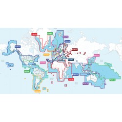
Count on detailed coverage in multiple formats for lakes, coasts and oceans to help you navigate wherever you are in the world.
EXPERTISE
Established since 1985
Expertise - Powered by 35 years of experience, C-MAP focus on delivering the most accurate and up to date charts.
-
GARMIN
Additional Chart areas are being added daily...
If the Chart Area you're interested in is not listed please email sales@prscomms.co.uk
-
NAVIONICS
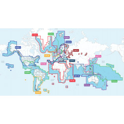
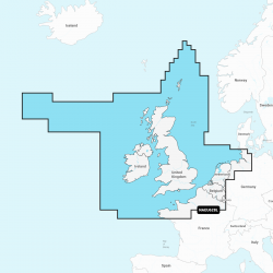
Choose from either NAVIONICS+ or PLATINUM+ Worldwide Regular or Large Coverage Areas
If the Chart Format that you're interested in is not listed please email sales@prscomms.co.uk


